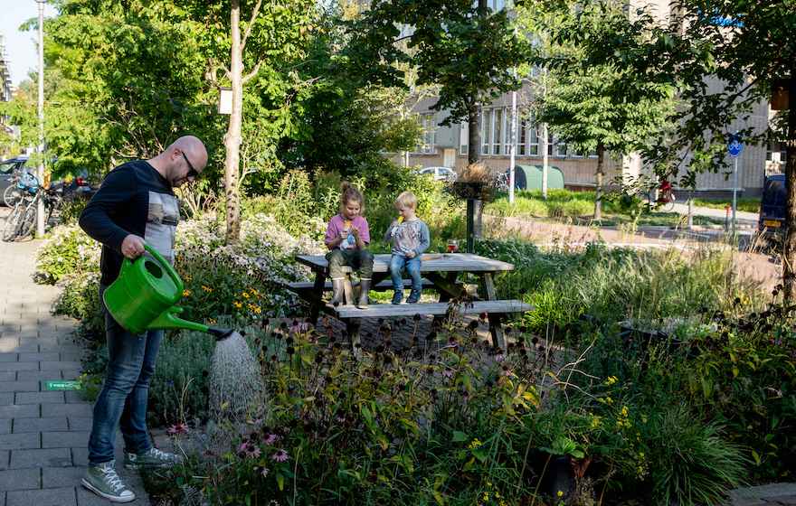
The municipality of Rotterdam therefore asked us to develop the website ‘Let op Lood’. Rotterdam’s citizens can find here if there’s any lead-contamination in their garden or area, and if so, how much.
The lead values for areas throughout the city of Rotterdam were mapped by the municipality. Soil research was conducted in more than 30.000 backyards. Based on this a traffic light and coding system was created that includes a risk level and steps on what to do for each individual address in the municipality of Rotterdam.
The website, fully in-line with the municipality’s visual brand identity, has two core features:
- With the Address Checker Rotterdam’s citizens can find the risk level, and if relevant course of action, associated with their address. The Address Checker is linked to a database with over 45.000 records.
- An interactive ArcGIS map allows users to view lead-contamination levels throughout the city.
The architecture of this tool was co-created together with the GIS advisors of the gemeente Rotterdam. They were responsible for all data and the mapping materials. A dynamic collaboration came into fruition between the communication advisors, GIS advisors and Poet Farmer’s Project Lead and design and development teams.
Via the Drupal CMS the administrators can periodically update the database and manage all other contents available on the website.
We’re proud of this website, in close collaboration with the gemeente Rotterdam was realised
